

Calm before the storm in Donegal with sleet and snow added to status red warning
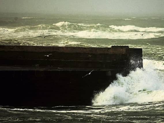

Tonight strengthening southeasterly winds associated with Storm Éowyn will bring heavy, persistent and widespread rain, turning to sleet and snow for a time
Certainly a case of the calm before the storm in Donegal, today, Met Éireann have said.
Rain will clear to sunny spells and scattered showers today with a fresh westerly wind easing later. Highest temperatures 6 to 8 degrees.
Tonight strengthening southeasterly winds associated with Storm Éowyn will bring heavy, persistent and widespread rain, turning to sleet and snow for a time. Through the night the winds will continue to strengthen as they veer to southwesterly by morning. Impacts will be severe with power outages and significant disruption due to falling trees and structural damage. Lowest temperatures of zero to 1 degrees.
During tomorrow, Friday, gale-force southwest winds over land, will veer westerly by afternoon, winds are expected to reach violent storm force along the coast through the day. There'll be scattered squally showers with more persistent rain across the north of the province at times. Afternoon temperatures of 7 to 9 degrees, feeling much colder due to wind-chill. The winds will steadily ease through the afternoon.
Donegal is headed for a status red weather warning on Friday with Storm Éowyn on the way.
Tributes paid to ‘passionate and dedicated’ Fort Dunree manager David MageeTributes paid to ‘passionate and dedicated’ Fort Dunree manager David Magee
Read More
The Extreme Weather Warning for Wind for Donegal is in place from Friday at 6am till Friday at 3pm.